Wednesday, June 29, 2011

Montreal Streetcar Map


Photo by Cedric Sam
A lot of these tracks still exist in Montreal, but are buried beneath layers of asphalt and tend to spring up during construction season and pothole season (as seen to the left). The streetcars stopped running when the newly constructed metro opened, thus rendering the above-ground rails "useless". The cost to remove the streetcar rails would have been too expense so the solution was to just pave over them. Currently, the STM and transit supporters have been debating bringing the streetcars back for years, but it all comes down to lack of funds for its infrastructure. In 2006, the tracks on St. Catherine's street were removed between Atwater and Guy Street.

Tuesday, June 28, 2011

Vintage Colour Palette for Maps


When I first came upon this colour palette, I knew I had to keep it somewhere where I could easily find it again. Often when I make maps, I use standard colours, or highly contrasting colours for more detail, and then decide on proper colours for the final product. These two palattes provide a great start for giving your maps a vintage, old-time feel.

Sunday, June 26, 2011

Proposed New Subway Design - NYC


Although Matthew Blackett's post, from Spacing Toronto, proposes new ideas for the Toronto subway maps (which I will cover in another post), I was fascinated by links in his article exploring how the NYC transit map, or MTA, is possibly one of the most difficult system to map out.

"The world's most famous subway map, designed by Harry Beck, is found in London, England and is considered the world standard-bearer of transit maps. It compresses the sprawling Underground (12 lines, 270 stations) network into a digestible size that is rather easy to understand...A quick look at a New York subway map reveals that the city has yet to find a comfortable way to display their system with the same ease as London."
--Matthew Blackett

Designed by Eddie Jabbour, found in Julie Steel's article, "Redesigning the New York City Subway Map"

Montreal - 1830

For my fellow Montrealers, notice:
Laval (St. Vincent)
La Chine (Lachine)--La Chine translate into "China" in English, as settlers thought they were on route to Asia and named the area Sains-Anges-de-la-Chine in 1678.
St Joseph (Montreal North area)

Saturday, June 25, 2011

Error in Printing - Typography of South Amercia

Published by the Geographical Press in 1935

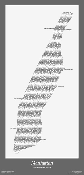
John Krygier posted and interesting article on Typography maps. Although he states that this map was printed by error, sans political boundaries, it is still an interesting map on its own, and a great idea. This article also includes the previously mentioned Manhattan Wordmap.

Friday, June 24, 2011

Interborough Rapid Transit Company (IRT, Now part of the MTA of NYC)

http://www.nycsubway.org/

Subway maps are one of my favorite things. Especially reading up on the evolution of the lines, how they came to what they are today, and all the changes that happen on a regular basis. While some systems don't change too often, NYC seems to be notorious for changing train routes. Forgotten-ny is one site I've spent countless hours browsing, as there are so many interesting pages to browse. The NYC transit system has changed so much since its creation (previously two separately created private systems, IRT and BRT) that there is actually a single-track platform under Times Square that no one knows what it was even used for (information found in Subwayland).

Thursday, June 23, 2011